Modern Geek - Maps
When I was 17, computers were not a huge part of life. The internet was very young and for a 17 year old Aussie, being in the great outdoors was much more interesting than sitting in front of a computer screen.
17 was also the age that I started driving, something I love to do and have travelled far and wide ever since. When I started driving, the only way to find where you had to go was by looking at maps. This was my first real introduction to maps and in my mind they served no other purpose than to help you not to get lost.
Over time though, I have realised that maps can do a lot more than just show you the way. They can be used to explain trends and statistics, they can be used to show various routes to the same destination, or even highlight points of interest such as petrol stations, parks, toilets and more.
Here today in the digital world, the power of maps is at our fingertips and is pretty much only limited by our imagination. For the examples in this post I will be discussing Google Maps but there are other providers too including Here, Waze, NavMii, MapQuest and Apple Maps.
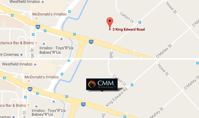
Custom Map Markers
This is not exactly going to set the world on fire but it is important to note that you don't have to stick with the little red map marker that Google provides by default. You can use your own image, which could be your logo, or an image to represent what the map is showing. These markers can be made clickable too. This means that when you click on it, an "Info Window" appears which can contain anything you want it to - Your address opening hours, an image of your shop front just to name a few things.
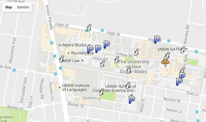
Multiple Map Markers
One map marker on a map is ok, but multiple map markers with our newfound custom marker knowledge starts to open up the potential. You could display all the nearby public toilets, parks, restaurants or all of the above!
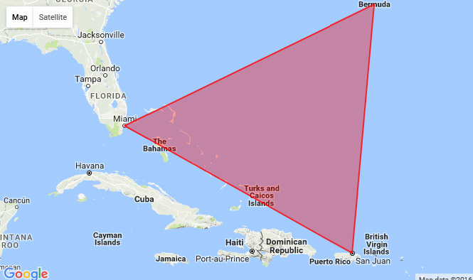
Area Overlays
Drawing an area on a map gives a visual explanation of where something is or happens. It could be where a property is, the area that your business services, or simply showing the area between several points.
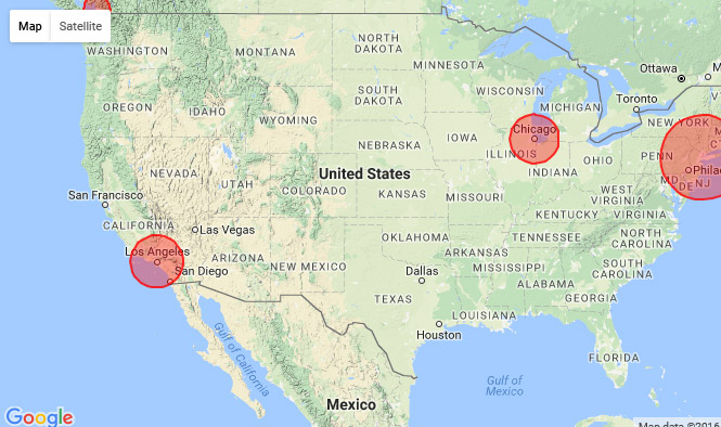
Data Circle Overlays
Data circles on a map use different size circles to illustrate groups of numbers across locations. Take the following map for example, theoretically it could represent the number of businesses who sell cakes. If you want to market to cake selling businesses, this map would show that New York is where your biggest target market was so you could focus your efforts there.
Conclusion
This is just a small selection of things you can do with Google Maps, which will hopefully spark some ideas as to what you could do with custom markers and overlays. What information related to location is important for your business to track? Perhaps there are new business opportunities using markers and/or overlays?
The next Modern Geek lesson will be looking at some more map functionality, relating to Geo Location, Directions, Durations and more...